Fire Weather Explained: The Science Behind Europe's Worsening Wildfire Seasons
Heat domes, vapour pressure deficit and fuel moisture sound technical. They are also the three numbers that decide whether a spark becomes a headline.
 Elias Braun 8 min read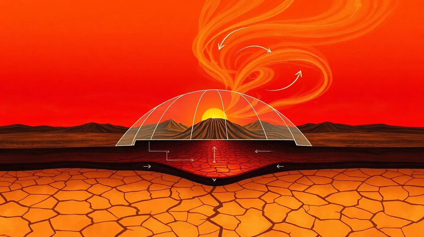
Wildfires need three things: fuel, ignition and weather that lets fire spread faster than people can stop it. Fuel changes over decades. Ignition is close to constant, since most fires in Europe start with human activity. Weather is the variable that changes week to week, and it is where the climate signal shows up most clearly.
Vapour pressure deficit: the number that matters most
Vapour pressure deficit, or VPD, measures how strongly the atmosphere pulls moisture out of vegetation. It rises roughly exponentially with temperature. A three-degree increase in afternoon temperature does not make plants three per cent drier; depending on humidity, it can double the drying rate. This is why modest warming produces disproportionate increases in fire danger, and why VPD has replaced simple temperature in most modern fire-danger indices.
Fire danger does not rise in step with the thermometer. It rises with the atmosphere's thirst, and thirst compounds.
Heat domes and the missing night
A heat dome is a persistent high-pressure ridge that traps warm air beneath sinking, compressing air. Two consequences matter for fire. First, the ridge suppresses cloud and rainfall for days or weeks. Second, it keeps overnight minimum temperatures high, which prevents the humidity recovery that normally lets fires lie down after dark. Crews rely on those hours to build containment lines. When the night stops cooling, containment stops being achievable and suppression becomes damage limitation.
Live and dead fuel moisture
- Dead fuel — leaf litter, fallen branches, cured grass — responds to humidity within hours. It governs how easily a fire starts and how fast it runs.
- Live fuel — shrubs and tree canopy — responds over weeks to months. It governs whether a surface fire climbs into the crown.
- When live fuel moisture drops below roughly 80 per cent of dry weight in Mediterranean shrubland, crown fire becomes plausible on almost any windy afternoon.
- Spring rainfall deficits are therefore a better predictor of a severe August than August temperatures alone.
Wind, terrain and the plume
Wind supplies oxygen and tilts flames toward unburnt fuel; slope does the same thing through convective preheating, which is why fire runs uphill several times faster than across flat ground. The most dangerous behaviour, though, is a plume-dominated fire — one whose own convection column becomes strong enough to generate erratic surface winds and, in extreme cases, a pyrocumulonimbus cloud with its own lightning. Plume-dominated fires are effectively unfightable at the head and account for a disproportionate share of fatalities.
What the science says about attribution
Attribution studies consistently find that warming has increased the frequency of extreme fire weather days in the Mediterranean basin, while being far more cautious about any individual fire. That distinction is worth holding onto. Climate change does not light fires. It lengthens the window during which a fire, once lit, cannot be stopped — and that window is what the current European season has been demonstrating.
Was this helpful?
Elias Braun
Energy & Environment Editor, Lonic
Elias covers energy systems and industrial decarbonisation, with a background in grid planning for a European transmission operator.
- Energy systems
- Climate technology
- Infrastructure
Read our editorial standards or send a correction.
Related articles

Ocean Heat Content and What It Implies for the Coming Decade
Most of the extra energy trapped by greenhouse gases ends up in the ocean, not the air. That measurement is unusually steady, and unusually informative about what comes next.
Japan Earthquake 2026: What We Know as 300,000 Are Told to Leave
Thirteen deaths confirmed, hundreds of thousands under evacuation instruction and a rescue window measured in days. A clear account of the situation and the response.
Earthquake Preparedness: What Japan Does That Other Countries Still Do Not
Similar magnitudes produce wildly different death tolls. The difference is almost entirely engineering, drills and building codes enforced over decades.
A Decades-Old Flaw Let Researchers Rewrite DNA Evidence Files Using Claude
A long-standing vulnerability in widely used Thermo Fisher forensic DNA software let researchers add or remove profiles from evidence files, exposing the fragility of digital chain of custody.