Hurricane Season 2026 Forecast: What the Outlooks Actually Say
Seasonal hurricane outlooks are probabilistic tools, not predictions of where storms will strike. Here is what the hurricane season 2026 forecasts are and are not telling coastal communities.
 Elias Braun 9 min read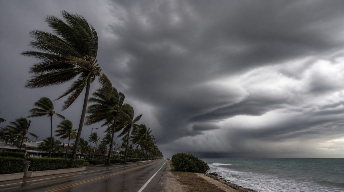
Every year around this point, seasonal hurricane outlooks generate headlines that compress a genuinely nuanced statistical exercise into a single number: an above-average, average or below-average season. The hurricane season 2026 forecasts issued by the major meteorological agencies are worth taking seriously, but understanding what they can and cannot tell a coastal community matters more than the headline classification itself.
What a seasonal hurricane forecast is actually measuring
Seasonal outlooks are built from large-scale climate signals — sea surface temperatures across the tropical Atlantic, the presence or absence of an El Niño or La Niña pattern in the Pacific, and prevailing wind shear conditions — that influence how favourable the ocean and atmosphere are for storm formation over an entire season. These signals are genuinely informative about the aggregate energy available for storm development. They say almost nothing about where any individual storm will make landfall, because landfall location is determined by short-range atmospheric steering patterns that are not predictable months in advance.
Why an active hurricane season 2026 forecast is not a landfall forecast
This is the distinction that gets lost most often in public discussion. A season classified as above-average in named storms and major hurricanes can still produce relatively little landfall impact if steering patterns keep storms out to sea, while a quiet season by the numbers can still produce a single devastating landfalling storm. Coastal communities have been caught out in both directions historically — complacent in a season forecast as average that produced a major landfall, and needlessly alarmed in an active season that largely stayed offshore.
- Warmer than average sea surface temperatures in the main development region generally support more storm formation and higher potential intensity.
- The presence of La Niña conditions tends to reduce wind shear over the Atlantic, removing a factor that would otherwise disrupt storm organisation.
- Saharan dust outbreaks can suppress early-season activity by drying the atmosphere over the tropical Atlantic, an effect that is more predictable week to week than season to season.
- None of these factors determine landfall location, intensity at landfall, or timing — only the general favourability of conditions for storms to form somewhere in the basin.
A seasonal outlook tells you how full the tank is. It does not tell you where the car is going to be parked when it runs out.
What has genuinely changed in recent years
Sea surface temperatures in the tropical Atlantic have trended warmer over recent decades, and warmer water is a necessary though not sufficient condition for storm intensification. Separately, forecasters have observed a pattern of storms intensifying more rapidly in the final day or two before landfall than older climatological averages would suggest, which compresses the warning window available to coastal residents even when the storm’s general track was well forecast days in advance. That rapid-intensification pattern is arguably a more consequential development for coastal preparedness than the seasonal storm-count outlook, because it affects how much time residents actually have to act once a specific threat is identified.
What coastal residents should actually do with a seasonal forecast
The sensible response to any hurricane season 2026 outlook, whether it forecasts an active or a quiet season, is identical: confirm evacuation routes and shelter plans, review insurance coverage before a storm is named and forecasting agencies stop taking new policies in the immediate risk area, and treat every season as one in which a landfalling storm is possible regardless of the seasonal classification. The forecast is a planning input for emergency management agencies allocating resources across a basin-wide season, not a substitute for the storm-specific warnings that matter once an actual system is tracked and approaching a coastline.
Reading updates as the season progresses
Seasonal outlooks are typically revised at least once as the season progresses, incorporating observed conditions rather than only the pre-season signals. A mid-season update that raises or lowers the storm-count expectation is often more informative than the initial outlook, since it reflects how the actual ocean and atmosphere have behaved rather than how they were expected to behave months earlier. Readers who want the clearest picture should treat the pre-season forecast as a starting point and pay closer attention to the specific storm-track guidance once the season is genuinely under way.
Was this helpful?
Elias Braun
Energy and Climate Editor, Lonic
Elias covers energy systems and industrial decarbonisation, with a background in grid planning for a European transmission operator.
- Energy systems
- Climate technology
- Infrastructure
Read our editorial standards or send a correction.
Related articles
European Wildfires 2026: 325,000 Displaced and a Fire Season That Started Early
France and Spain are carrying the worst of a summer that arrived weeks ahead of schedule. The damage is severe, but the more important story is how the season is changing shape.

Amazon Deforestation Falls to Its Lowest Level in a Decade, Brazilian Data Shows
Brazil's Amazon deforestation figures for January to June hit their lowest point in ten years, though experts warn that degradation from fires and drought is outpacing the improvement.

Wildfire Evacuation Guide: What to Prepare Before the Warning Arrives
Most evacuation failures are not dramatic. They are ten minutes lost looking for documents. A practical, evidence-based checklist for households in fire-exposed regions.
Hungary Shuts Its Only Nuclear Plant as the Danube Hits Record Lows
Hungary is closing the Paks nuclear plant for the first time in 44 years after record-low Danube levels left its cooling system unable to draw water from the river.