The WMO Says El Nino Will Intensify Through October, Raising Global Heat Risk
The World Meteorological Organization forecasts El Nino intensifying through October 2026, with hotter-than-normal conditions likely across nearly every land area on Earth.
 Elias Braun 7 min read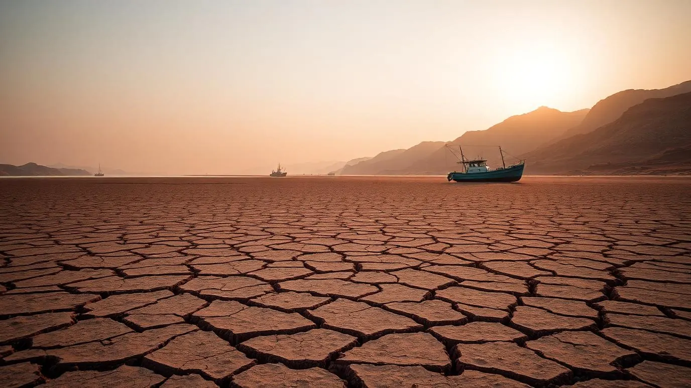
The World Meteorological Organization has forecast that the current El Nino pattern will intensify through October 2026, according to India Today, with hotter-than-normal conditions likely across nearly every land area on the planet during that window. The forecast is one of the WMO's most sweeping in recent years, both in the geographic scope of the warming it anticipates and in the lead time it gives governments to prepare.
What the forecast actually says
El Nino describes a periodic warming of surface waters in the central and eastern tropical Pacific Ocean, a pattern that shifts weather systems worldwide and typically raises average global temperatures for the period it is active. The WMO's latest assessment is that this cycle will not just persist but strengthen between now and October, meaning the warming effects already being felt in various regions are expected to become more pronounced rather than plateau.
- The WMO forecasts intensification of El Nino conditions through October 2026.
- Hotter-than-normal conditions are considered likely across nearly every land area globally during this period.
- Sustained temperatures above 29C in parts of the tropics have been flagged by forecasters as particularly noteworthy.
- The forecast is intended to give governments lead time to prepare for droughts, floods and wildfires linked to the pattern.
Why the lead time matters more than the headline number
The most practically useful part of the WMO's forecast is not the temperature projection itself but the months of advance notice it gives national meteorological agencies and disaster response bodies. El Nino years have historically been associated with specific, somewhat predictable regional effects: drought risk rising in parts of South-East Asia and southern Africa, and heavier rainfall or flooding risk increasing in parts of South America. Knowing several months ahead that the pattern is intensifying allows governments to pre-position resources, adjust agricultural planning and issue early public warnings rather than reacting after extreme events have already begun.
A forecast issued in August for conditions in October is only useful if the months in between are spent preparing rather than waiting.
Guterres links the pattern to the wider climate crisis
UN Secretary-General António Guterres said that El Nino is intensifying the climate crisis, remarks reported by PINA that frame the current pattern not as a standalone weather event but as an amplifier layered on top of long-term warming trends already under way. That framing matters because El Nino years occurring during a period of elevated baseline global temperatures tend to produce more extreme outcomes than El Nino years occurring against a cooler baseline, a dynamic climate scientists have been documenting for more than a decade.
How this connects to events already under way
The forecast lands amid a summer that has already produced multiple extreme heat events, including South Korea's record-breaking temperatures in early August and the drought conditions severe enough to force Hungary to shut its Paks nuclear plant. Neither of those events can be attributed solely to El Nino, but the WMO's forecast suggests the broader atmospheric conditions likely to persist through October will not make events of that kind less likely, and in some regions may make them more so.
What governments are being asked to do
The WMO's guidance to national governments centres on three areas: drought preparedness in regions historically vulnerable to El Nino-linked dry spells, flood response capacity in regions that typically see increased rainfall, and wildfire risk management in areas where dry conditions combine with high temperatures. None of these are new categories of preparation, but the specificity of the October timeline gives disaster planning agencies a firmer basis for allocating resources than a general seasonal outlook would.
What to watch
- Whether regional forecasting agencies issue more specific national-level warnings as October approaches.
- Whether drought conditions worsen in the regions the WMO has historically flagged as most exposed to El Nino.
- Whether the pattern begins to weaken on schedule after October or persists longer than forecast.
- How this El Nino cycle compares, once concluded, with previous cycles in terms of global average temperature impact.
Forecasts of this kind are, by their nature, probabilistic rather than certain. But the WMO's assessment gives a specific and unusually wide-reaching warning: across nearly every land area, the months ahead are likely to run hotter than normal, and the pattern driving that is expected to strengthen rather than fade before October arrives.
Was this helpful?
Elias Braun
Energy and Climate Editor, Lonic
Elias covers energy systems and industrial decarbonisation, with a background in grid planning for a European transmission operator.
- Energy systems
- Climate technology
- Infrastructure
Read our editorial standards or send a correction.
Related articles
European Wildfires 2026: 325,000 Displaced and a Fire Season That Started Early
France and Spain are carrying the worst of a summer that arrived weeks ahead of schedule. The damage is severe, but the more important story is how the season is changing shape.

Wildfire Evacuation Guide: What to Prepare Before the Warning Arrives
Most evacuation failures are not dramatic. They are ten minutes lost looking for documents. A practical, evidence-based checklist for households in fire-exposed regions.
Hungary Shuts Its Only Nuclear Plant as the Danube Hits Record Lows
Hungary is closing the Paks nuclear plant for the first time in 44 years after record-low Danube levels left its cooling system unable to draw water from the river.

South Korea Records Its Hottest Day Ever as Seoul Issues First Severe Heat Alert
Yangsan hit 42.5C on 2 August, a new national record, as Seoul issued its first-ever top-level heat warning and Daegu passed 40C amid a punishing Asian heatwave.